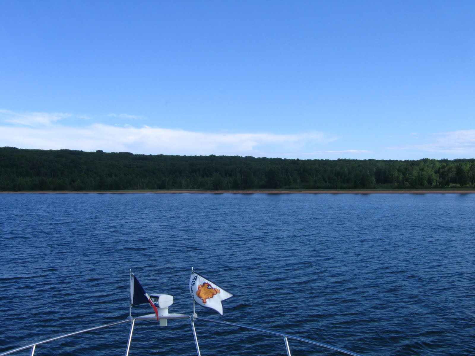
46° 24.798’ N
086° 39.185’ W
Munising, Michigan
 |
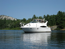
| Leaving Marquette |
Today was a day of surprises! On return from one of my favorite donut shops, about 9am, we realized that a good weather window had presented itself and we should get moving. John and I did a quick car rental return, paid for last nights mooring and got underway by 10 am!
 |
| Abanded Lighthouse |
We arrived in Munising, Michigan sometime after 2 pm as the seas were starting to build. Right now the boat is gently thumping the dock and there’s a possibility that we could have a rock and roll night. Good weather is predicted for tomorrow so were planning to get underway early - around 7 am - and head for White Fish Point. White Fish Point is 98 miles away from here and 35 miles away from the Soo Locks.
Everyone is looking forward to White Fish Point as there is an excellent museum and a working light house. Depending what’s at White Fish Point we’ll probably spend two nights there then move to the Soo locks and depart Lake Superior.